Greyhound Trail
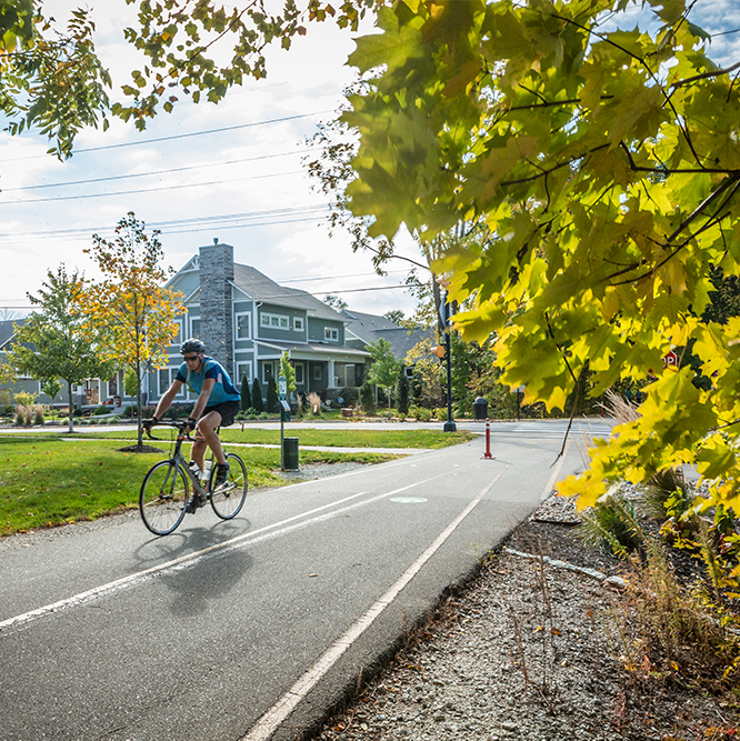
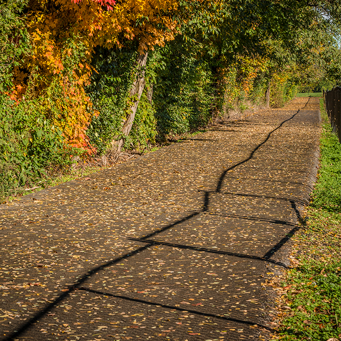
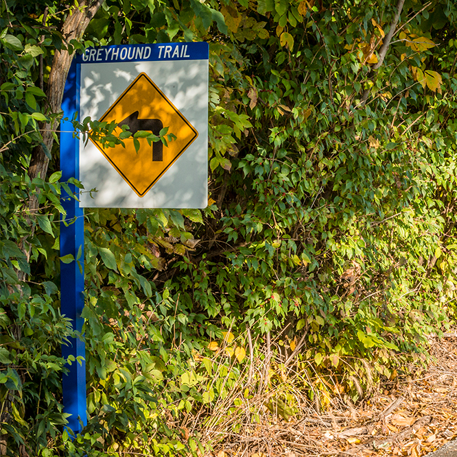
The Greyhound Trail is a small, 0.6 mile section of trail. It connects to the Hagan-Burke Trail, runs southeast by the Carmel High School stadium and ends on 136th Street.
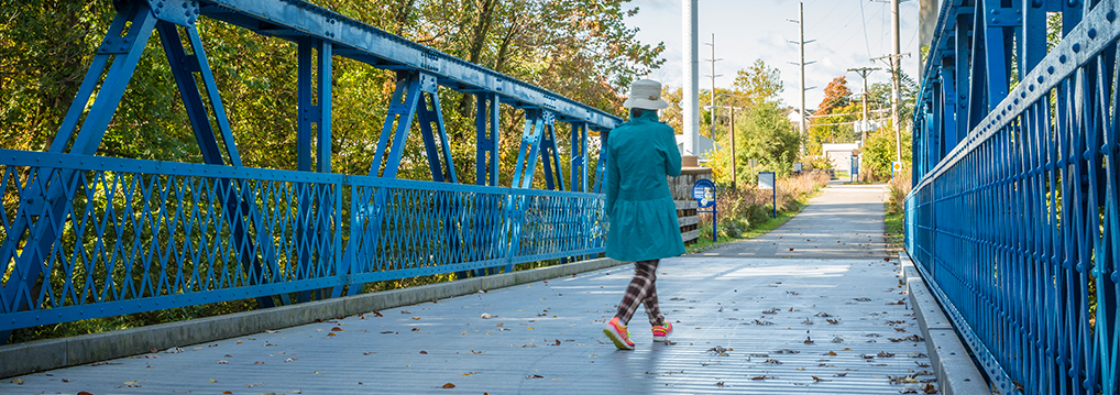
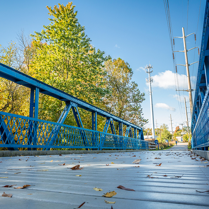
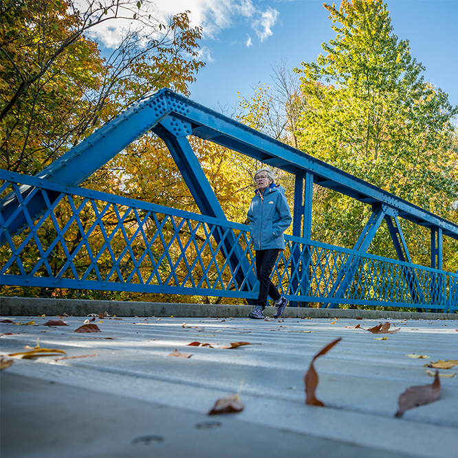
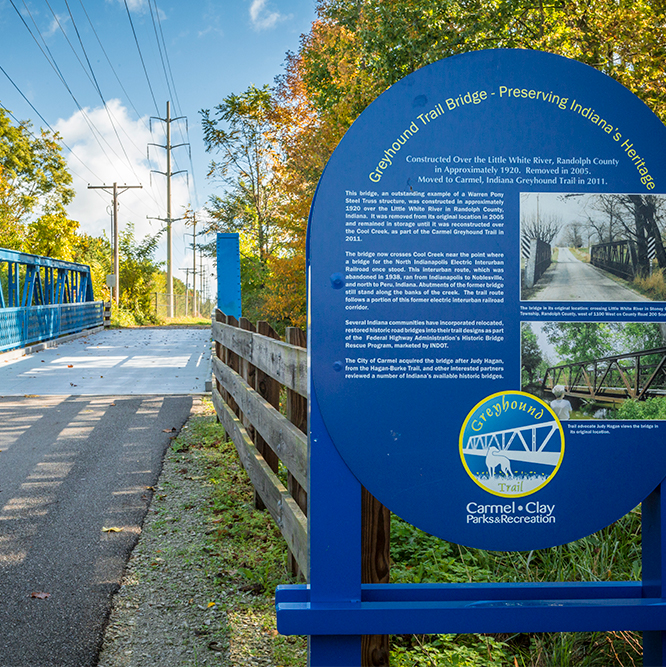
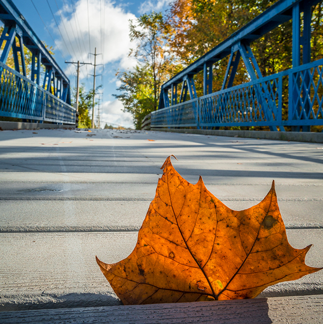
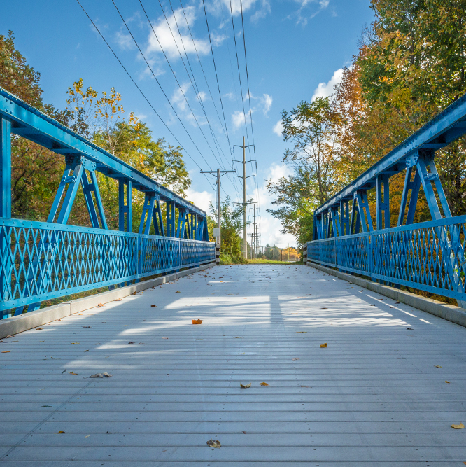
There is an historic bridge from the 1920s that was salvaged from Randolph County, Indiana and was given new life on this trail.
Share this post:
Features
Paved trails that connect Hagan-Burke Trail by the Carmel High School stadium.
Share your experience with us!
Submit a Photo!
General Greenway Rules
- Greenways are open sunrise to sunset except when used as an alternative transportation route
- Greenways are tobacco, alcohol (except in DORA designated districts), e-cigarette, vaping, and drug-free zones
- Greenway hours in any Designated Outdoor Refreshment Area (DORA) zones are determined by the hours of the DORA district
HELP KEEP YOUR GREENWAYS BEAUTIFUL
- Bag and dispose of pet waste
- Place all litter in appropriate trash containers
- Glass containers are prohibited within parks and greenways
- Drive and park only on roadways and designated parking areas
- Wildlife and vegetation should not be disturbed
HELP KEEP YOUR GREENWAYS FUN
- Keep all pets leashed, on a leash no longer than 6 feet
- Avoid playing loud music that disturbs others
- Help keep wildlife wild – Please do not feed waterfowl or wild animals
KNOW YOUR GREENWAYS
- Bicycles must not exceed 15 miles per hour or the posted speed limit on greenways
- Racing activity is prohibited
- In-line skaters, skateboarders, and cyclists must yield to pedestrians
- Reckless use of bikes or vehicles is prohibited
- Equines are prohibited on greenways, except when used by law enforcement
- Soliciting, advertising, or using greenways for profit is prohibited without a permit
- Motorized vehicles are not permitted on trails or park grounds
For the full list of park & greenway rules, please click here
Personal assistive mobility devices may be used in compliance with the Americans with Disabilities Act
Report inappropriate conduct to Carmel Police: 317.733.1282
Report maintenance concerns to Carmel Clay Parks & Recreation: 317.573.4044